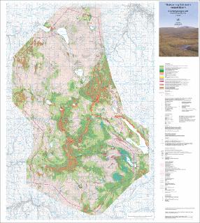
Skarvan og Roltdalen nasjonalpark kvartærgeologisk kart (Quaternary geological map) M 1:50 000
| dc.contributor.author | Sveian, H. | |
| dc.contributor.author | Rubensdotter, L. | |
| dc.contributor.author | Riiber, K. | |
| dc.coverage.spatial | 17212 Essandsjø | |
| dc.coverage.spatial | MERÅKER | |
| dc.coverage.spatial | STJØRDAL | |
| dc.coverage.spatial | 17213 Tydal | |
| dc.coverage.spatial | 17214 Flornes | |
| dc.coverage.spatial | 17211 Meråker | |
| dc.coverage.spatial | TYDAL | |
| dc.coverage.spatial | SELBU | |
| dc.date.accessioned | 2020-07-09T12:04:06Z | |
| dc.date.available | 2020-07-09T12:04:06Z | |
| dc.date.issued | 2014 | |
| dc.identifier.uri | https://hdl.handle.net/11250/2661826 | |
| dc.language.iso | nor | |
| dc.rights | Navngivelse 4.0 Internasjonal | |
| dc.rights.uri | http://creativecommons.org/licenses/by/4.0/deed.no | |
| dc.subject | KVARTÆRGEOLOGI | |
| dc.title | Skarvan og Roltdalen nasjonalpark kvartærgeologisk kart (Quaternary geological map) M 1:50 000 | |
| dc.type | Map | |
| dc.description.localcode | 63981 | |
| dc.source.pagenumber | 1 kart |
Files in this item
This item appears in the following Collection(s)
-
Kart [1000]
NGUs trykte kart

Except where otherwise noted, this item's license is described as Navngivelse 4.0 Internasjonal