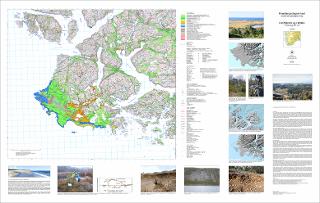
Kvartærgeologisk kart (Quaternary geological map) Farsund og Hidra 1311-2 og 1311-3 M 1:50 000
| dc.contributor.author | Fredin, O. | |
| dc.contributor.author | Riiber, K. | |
| dc.contributor.author | Romundset, A. | |
| dc.coverage.spatial | FARSUND | |
| dc.coverage.spatial | KVINESDAL | |
| dc.coverage.spatial | FLEKKEFJORD | |
| dc.coverage.spatial | 13113 Hidra | |
| dc.coverage.spatial | 13112 Farsund | |
| dc.date.accessioned | 2020-07-09T11:49:48Z | |
| dc.date.available | 2020-07-09T11:49:48Z | |
| dc.date.issued | 2015 | |
| dc.identifier.uri | https://hdl.handle.net/11250/2661787 | |
| dc.language.iso | nor | |
| dc.rights | Navngivelse 4.0 Internasjonal | |
| dc.rights.uri | http://creativecommons.org/licenses/by/4.0/deed.no | |
| dc.subject | KVARTÆRGEOLOGI | |
| dc.title | Kvartærgeologisk kart (Quaternary geological map) Farsund og Hidra 1311-2 og 1311-3 M 1:50 000 | |
| dc.type | Map | |
| dc.description.localcode | 63977 | |
| dc.source.pagenumber | 1 kart |
Files in this item
This item appears in the following Collection(s)
-
Kart [1000]
NGUs trykte kart

Except where otherwise noted, this item's license is described as Navngivelse 4.0 Internasjonal