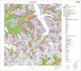
Hjørundfjord. Kvartærgeologisk kart; Hjørundfjord; 12193; 1:50 000; Plotteversjonen
| dc.contributor.author | Aa, A.R. | |
| dc.contributor.author | Reite, A.J. | |
| dc.contributor.author | Blikra, L.H. | |
| dc.coverage.spatial | VOLDA | |
| dc.coverage.spatial | ØRSTA | |
| dc.coverage.spatial | VESTLAND | |
| dc.coverage.spatial | MØRE OG ROMSDAL | |
| dc.coverage.spatial | 12193 Hjørundfjord | |
| dc.coverage.spatial | STRANDA | |
| dc.date.accessioned | 2020-07-09T13:30:10Z | |
| dc.date.available | 2020-07-09T13:30:10Z | |
| dc.date.issued | 2011 | |
| dc.identifier.uri | https://hdl.handle.net/11250/2661912 | |
| dc.language.iso | nor | |
| dc.rights | Navngivelse 4.0 Internasjonal | |
| dc.rights.uri | http://creativecommons.org/licenses/by/4.0/deed.no | |
| dc.subject | KVARTÆRGEOLOGI | |
| dc.title | Hjørundfjord. Kvartærgeologisk kart; Hjørundfjord; 12193; 1:50 000; Plotteversjonen | |
| dc.type | Map | |
| dc.description.localcode | 59025 | |
| dc.source.pagenumber | 1 kart |
Files in this item
This item appears in the following Collection(s)
-
Kart [1000]
NGUs trykte kart

Except where otherwise noted, this item's license is described as Navngivelse 4.0 Internasjonal