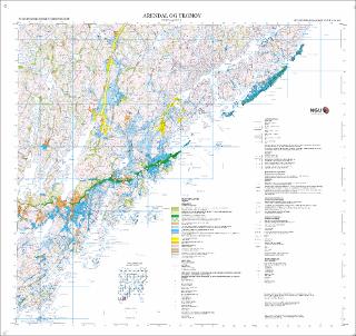
Arendal og Tromøy 1611 IV og 1611 I. Kvartærgeologisk kart 1:50 000
| dc.contributor.author | Bergstrøm, B. | |
| dc.contributor.author | Riiber, K. | |
| dc.contributor.author | Jansen, I. J. | |
| dc.coverage.spatial | GRIMSTAD | |
| dc.coverage.spatial | FROLAND | |
| dc.coverage.spatial | ARENDAL | |
| dc.coverage.spatial | 16114 Arendal | |
| dc.coverage.spatial | 16111 Tromøy | |
| dc.date.accessioned | 2020-07-09T13:33:30Z | |
| dc.date.available | 2020-07-09T13:33:30Z | |
| dc.date.issued | 2007 | |
| dc.identifier.uri | https://hdl.handle.net/11250/2661964 | |
| dc.description.abstract | ||
| dc.language.iso | nor | |
| dc.rights | Navngivelse 4.0 Internasjonal | |
| dc.rights.uri | http://creativecommons.org/licenses/by/4.0/deed.no | |
| dc.subject | KVARTÆRGEOLOGI | |
| dc.title | Arendal og Tromøy 1611 IV og 1611 I. Kvartærgeologisk kart 1:50 000 | |
| dc.type | Map | |
| dc.description.localcode | 56322 | |
| dc.source.pagenumber | 1 kart |
Files in this item
This item appears in the following Collection(s)
-
Kart [1000]
NGUs trykte kart

Except where otherwise noted, this item's license is described as Navngivelse 4.0 Internasjonal