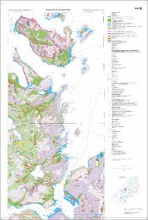
Harstad kommune. Kvartærgeologisk kart.; 1:60 000; Plottekart
| dc.contributor.author | Olsen, L. | |
| dc.contributor.author | Bergstrøm, B. | |
| dc.contributor.author | Lyså, A. | |
| dc.date.accessioned | 2020-07-09T13:50:14Z | |
| dc.date.available | 2020-07-09T13:50:14Z | |
| dc.date.issued | 2003 | |
| dc.identifier.uri | https://hdl.handle.net/11250/2662035 | |
| dc.description.abstract | Plotteversjon 2006 | |
| dc.language.iso | nor | |
| dc.rights | Navngivelse 4.0 Internasjonal | |
| dc.rights.uri | http://creativecommons.org/licenses/by/4.0/deed.no | |
| dc.subject | LØSMASSE | |
| dc.title | Harstad kommune. Kvartærgeologisk kart.; 1:60 000; Plottekart | |
| dc.type | Map | |
| dc.description.localcode | 50284 |
Files in this item
This item appears in the following Collection(s)
-
Kart [1000]
NGUs trykte kart

Except where otherwise noted, this item's license is described as Navngivelse 4.0 Internasjonal