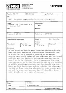
GMAP - Geographic mapping and palaeoreconstruction package.
| dc.contributor.author | Torsvik, T.H. | |
| dc.contributor.author | Pesonen, L.J. | |
| dc.contributor.author | Smethurst, M.A. | |
| dc.date.accessioned | 2020-07-15T08:56:18Z | |
| dc.date.available | 2020-07-15T08:56:18Z | |
| dc.date.issued | 1990 | |
| dc.identifier.issn | 0800-3416 | |
| dc.identifier.uri | https://hdl.handle.net/11250/2667065 | |
| dc.description.abstract | In this account we describe GMAP, a combined palaeomagnetic database, geographic mapping and palaeoreconstruction package. GMAP is written for IBM AT compatible computers and the package contains approximately 1 Mbyte of geographic data, i.e. continental grid data, political boundaries and magnetic anomalies from the Central and Northern Atlantic. Large palaeomagnetic data- bases from Scandinavia, the British Isles and th USSR are also included. In addition selected palaeomagnetic data from Spitsbergen, Central Europe and North America\/Greenland are included. The palaeomagnetic data and files containing information on finite rotation poles are used for palaeorecon- structions, but GMAP also allows interactive translation of continents. | |
| dc.language.iso | nor | |
| dc.relation.ispartofseries | NGU-Rapport (90.019) | |
| dc.rights | Navngivelse 4.0 Internasjonal | |
| dc.rights.uri | http://creativecommons.org/licenses/by/4.0/deed.no | |
| dc.subject | GEOFYSIKK | |
| dc.subject | TOLKNING | |
| dc.title | GMAP - Geographic mapping and palaeoreconstruction package. | |
| dc.type | Report | |
| dc.description.localcode | 30105 | |
| dc.source.pagenumber | 64 |
Files in this item
This item appears in the following Collection(s)
-
Rapporter [5057]
NGU-rapporter

