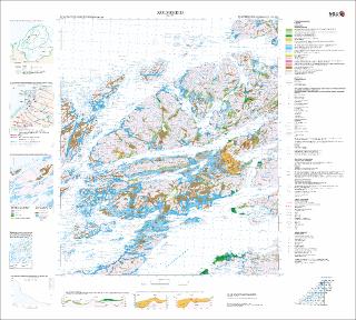
Kolvereid. Kvartærgeologisk kart; Kolvereid; 17244; 1:50 000; Plottekart; Beskrivelse kan kjøres ut separat
| dc.contributor.author | Bergstrøm, Bjørn | |
| dc.contributor.author | Riiber, Knut | |
| dc.date.accessioned | 2020-08-17T13:24:48Z | |
| dc.date.available | 2020-08-17T13:24:48Z | |
| dc.date.issued | 2001 | |
| dc.identifier.uri | https://hdl.handle.net/11250/2672651 | |
| dc.description.abstract | Plotteversjon 2006 | |
| dc.language.iso | nor | |
| dc.rights | Navngivelse 4.0 Internasjonal | |
| dc.rights.uri | http://creativecommons.org/licenses/by/4.0/deed.no | |
| dc.subject | KVARTÆRGEOLOGI | |
| dc.title | Kolvereid. Kvartærgeologisk kart; Kolvereid; 17244; 1:50 000; Plottekart; Beskrivelse kan kjøres ut separat | |
| dc.type | Map | |
| dc.description.localcode | 46380 |
Files in this item
This item appears in the following Collection(s)
-
Kart [1000]
NGUs trykte kart

Except where otherwise noted, this item's license is described as Navngivelse 4.0 Internasjonal