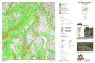
Kvartærgeologisk kart Innset 1520-2 M 1:50 000
| dc.contributor.author | Olsen, L. | |
| dc.contributor.author | Follestad, B.A. | |
| dc.coverage.spatial | OPPDAL | |
| dc.coverage.spatial | RENNEBU | |
| dc.coverage.spatial | TYNSET | |
| dc.coverage.spatial | INNLANDET | |
| dc.coverage.spatial | TRØNDELAG | |
| dc.coverage.spatial | 15202 Innset | |
| dc.date.accessioned | 2020-08-18T12:51:43Z | |
| dc.date.available | 2020-08-18T12:51:43Z | |
| dc.date.issued | 2020 | |
| dc.identifier.uri | https://hdl.handle.net/11250/2672846 | |
| dc.language.iso | nor | |
| dc.rights | Navngivelse 4.0 Internasjonal | |
| dc.rights.uri | http://creativecommons.org/licenses/by/4.0/deed.no | |
| dc.subject | LØSMASSER | |
| dc.subject | KVARTÆRGEOLOGI | |
| dc.subject | AVSETNING | |
| dc.subject | KORNSTØRRELSE | |
| dc.subject | BREBEVEGELSE | |
| dc.subject | GEOMORFOLOGI | |
| dc.title | Kvartærgeologisk kart Innset 1520-2 M 1:50 000 | |
| dc.type | Map | |
| dc.description.localcode | 66767 | |
| dc.source.pagenumber | 1 kart |
Files in this item
This item appears in the following Collection(s)
-
Kart [1000]
NGUs trykte kart

Except where otherwise noted, this item's license is described as Navngivelse 4.0 Internasjonal