| dc.contributor.author | Jørgensen, Per | |
| dc.contributor.author | Østmo, Svein Roar | |
| dc.date.accessioned | 2020-08-26T09:13:59Z | |
| dc.date.available | 2020-08-26T09:13:59Z | |
| dc.date.issued | 1990 | |
| dc.identifier.uri | https://hdl.handle.net/11250/2674289 | |
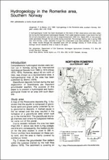
| dc.description.abstract | A hydrogeological model has been developed on the basis of field observat- ions and data collected during the International Hydrological Decade. From water balance studies it was found that half the annual precipitation was lost due to evapotranspiration (400 mm). Nearly 60% of new groundwater percolates through the soil profile during snowmelt. The average melting in spring 1966 was 13.5 mm\/day. Linear velocities through the unsaturated zone were between 17 and 20 cm\/ day. Water mmoves through the saturated zone with an average velocitiy of 10-20 cm\/day, and average natural residence time is close to 30 years. | |
| dc.language.iso | eng | |
| dc.relation.ispartofseries | NGU Bulletin (418) | |
| dc.rights | Navngivelse 4.0 Internasjonal | |
| dc.rights.uri | http://creativecommons.org/licenses/by/4.0/deed.no | |
| dc.subject | KVARTÆRGEOLOGI | |
| dc.subject | GRUNNVANNSMAGASIN | |
| dc.title | Hydrogeology in the Romerike area, southern Norway | |
| dc.type | Journal article | |
| dc.description.localcode | 35274 | |
| dc.source.pagenumber | 19-26 | |

