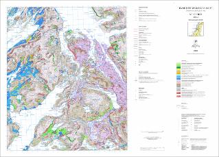
Kvartærgeologisk kart Velfjord 1825-4 M 1:50 000
| dc.contributor.author | Høgaas, F. | |
| dc.contributor.author | Gislefoss, L. | |
| dc.contributor.author | Klug, M. | |
| dc.contributor.author | Olsen, L. | |
| dc.contributor.author | Riiber, K. | |
| dc.coverage.spatial | SØMNA | |
| dc.coverage.spatial | 18254 Velfjord | |
| dc.coverage.spatial | BINDAL | |
| dc.coverage.spatial | BRØNNØY | |
| dc.date.accessioned | 2020-12-16T10:27:19Z | |
| dc.date.available | 2020-12-16T10:27:19Z | |
| dc.date.issued | 2020 | |
| dc.identifier.uri | https://hdl.handle.net/11250/2719768 | |
| dc.language.iso | nor | |
| dc.publisher | Norges geologiske undersøkelse | |
| dc.rights | Navngivelse 4.0 Internasjonal | |
| dc.rights.uri | http://creativecommons.org/licenses/by/4.0/deed.no | |
| dc.subject | LØSMASSE | |
| dc.subject | KORNSTØRRELSE | |
| dc.subject | BREBEVEGELSE | |
| dc.subject | GEOMORFOLOGI | |
| dc.subject | KVARTÆRGEOLOGI | |
| dc.title | Kvartærgeologisk kart Velfjord 1825-4 M 1:50 000 | |
| dc.type | Map | |
| dc.description.localcode | 67052 | |
| dc.source.pagenumber | 1 kart |
Files in this item
This item appears in the following Collection(s)
-
Kart [1000]
NGUs trykte kart

Except where otherwise noted, this item's license is described as Navngivelse 4.0 Internasjonal