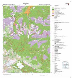
Rondane. Kvartærgeologisk kart; Rondane; 17181; 1:50 000.
| dc.contributor.author | Follestad, B. | |
| dc.coverage.spatial | 17181 Rondane | |
| dc.coverage.spatial | FOLLDAL | |
| dc.coverage.spatial | SØR-FRON | |
| dc.coverage.spatial | DOVRE | |
| dc.coverage.spatial | SEL | |
| dc.coverage.spatial | NORD-FRON | |
| dc.date.accessioned | 2020-07-09T13:34:18Z | |
| dc.date.available | 2020-07-09T13:34:18Z | |
| dc.date.issued | 2005 | |
| dc.identifier.uri | https://hdl.handle.net/11250/2661994 | |
| dc.language.iso | nor | |
| dc.rights | Navngivelse 4.0 Internasjonal | |
| dc.rights.uri | http://creativecommons.org/licenses/by/4.0/deed.no | |
| dc.subject | KVARTÆRGEOLOGI | |
| dc.title | Rondane. Kvartærgeologisk kart; Rondane; 17181; 1:50 000. | |
| dc.type | Map | |
| dc.description.localcode | 52586 | |
| dc.source.pagenumber | 1 kart |
Tilhørende fil(er)
Denne innførselen finnes i følgende samling(er)
-
Kart [1000]
NGUs trykte kart

Med mindre annet er angitt, så er denne innførselen lisensiert som Navngivelse 4.0 Internasjonal