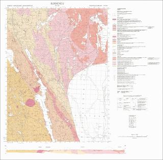
Rødenes. Berggrunnskart; Rødenes; 20143; 1:50 000; trykt i farger;
| dc.contributor.author | Skjernaa, L. | |
| dc.coverage.spatial | 20143 Rødenes | |
| dc.coverage.spatial | MARKER | |
| dc.coverage.spatial | INDRE ØSTFOLD | |
| dc.coverage.spatial | AURSKOG-HØLAND | |
| dc.date.accessioned | 2020-07-09T14:15:40Z | |
| dc.date.available | 2020-07-09T14:15:40Z | |
| dc.date.issued | 1984 | |
| dc.identifier.uri | https://hdl.handle.net/11250/2663086 | |
| dc.language.iso | nor | |
| dc.rights | Navngivelse 4.0 Internasjonal | |
| dc.rights.uri | http://creativecommons.org/licenses/by/4.0/deed.no | |
| dc.subject | BERGGRUNNSGEOLOGI | |
| dc.title | Rødenes. Berggrunnskart; Rødenes; 20143; 1:50 000; trykt i farger; | |
| dc.type | Map | |
| dc.description.localcode | 36833 |
Tilhørende fil(er)
Denne innførselen finnes i følgende samling(er)
-
Kart [1000]
NGUs trykte kart

Med mindre annet er angitt, så er denne innførselen lisensiert som Navngivelse 4.0 Internasjonal