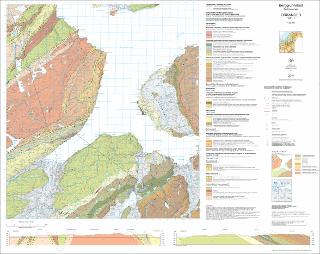
Berggrunnskart Orkanger 1521-1 M 1:50 000
| dc.contributor.author | Slagstad, T. | |
| dc.contributor.author | Solli, A. | |
| dc.contributor.author | Svendby, A.K. | |
| dc.contributor.author | Gasser, D. | |
| dc.coverage.spatial | SKAUN | |
| dc.coverage.spatial | ORKLAND | |
| dc.coverage.spatial | TRONDHEIM | |
| dc.coverage.spatial | 15211 Orkanger | |
| dc.date.accessioned | 2020-07-09T11:41:42Z | |
| dc.date.available | 2020-07-09T11:41:42Z | |
| dc.date.issued | 2018 | |
| dc.identifier.uri | https://hdl.handle.net/11250/2661653 | |
| dc.language.iso | nor | |
| dc.rights | Navngivelse 4.0 Internasjonal | |
| dc.rights.uri | http://creativecommons.org/licenses/by/4.0/deed.no | |
| dc.subject | BERGGRUNNSGEOLOGI | |
| dc.subject | BERGART | |
| dc.subject | STRUKTURGEOLOGI | |
| dc.title | Berggrunnskart Orkanger 1521-1 M 1:50 000 | |
| dc.type | Map | |
| dc.description.localcode | 66300 | |
| dc.source.pagenumber | 1 kart |
Files in this item
This item appears in the following Collection(s)
-
Kart [1000]
NGUs trykte kart

Except where otherwise noted, this item's license is described as Navngivelse 4.0 Internasjonal