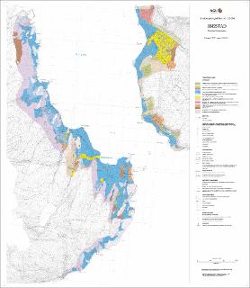
Ibestad. Kvartærgeologisk kart M 1:15 000
| dc.contributor.author | Sveian, H. | |
| dc.contributor.author | Olsen, L. | |
| dc.contributor.author | Bergstrøm, B. | |
| dc.coverage.spatial | 13321 Andørja | |
| dc.coverage.spatial | TJELDSUND | |
| dc.coverage.spatial | IBESTAD | |
| dc.coverage.spatial | 13323 Tjeldsundet | |
| dc.coverage.spatial | 13322 Astafjorden | |
| dc.date.accessioned | 2020-07-09T13:34:35Z | |
| dc.date.available | 2020-07-09T13:34:35Z | |
| dc.date.issued | 2005 | |
| dc.identifier.uri | https://hdl.handle.net/11250/2662001 | |
| dc.description.abstract | Vedlegg til NGU-rapport 2005.018 | |
| dc.language.iso | nor | |
| dc.rights | Navngivelse 4.0 Internasjonal | |
| dc.rights.uri | http://creativecommons.org/licenses/by/4.0/deed.no | |
| dc.subject | KVARTÆRGEOLOGI | |
| dc.title | Ibestad. Kvartærgeologisk kart M 1:15 000 | |
| dc.type | Map | |
| dc.description.localcode | 52670 | |
| dc.source.pagenumber | 1 kart |
Files in this item
This item appears in the following Collection(s)
-
Kart [1000]
NGUs trykte kart

Except where otherwise noted, this item's license is described as Navngivelse 4.0 Internasjonal