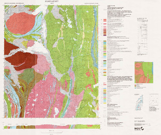
Fustvatnet. Berggrunnskart; Fustvatnet; 19264; 1:50 000; trykt i farger
| dc.contributor.author | Gjelle, Svein | |
| dc.contributor.author | Mickelson, Marit | |
| dc.contributor.author | Theisen, Fredrik J. | |
| dc.coverage.spatial | HEMNES | |
| dc.coverage.spatial | GRANE | |
| dc.coverage.spatial | HATTFJELLDAL | |
| dc.coverage.spatial | 19264 Fustvatnet | |
| dc.coverage.spatial | VEFSN | |
| dc.date.accessioned | 2020-07-09T13:57:27Z | |
| dc.date.available | 2020-07-09T13:57:27Z | |
| dc.date.issued | 1996 | |
| dc.identifier.uri | https://hdl.handle.net/11250/2662167 | |
| dc.description.abstract | Beskrivelsen finnes på kartet. | |
| dc.language.iso | nor | |
| dc.rights | Navngivelse 4.0 Internasjonal | |
| dc.rights.uri | http://creativecommons.org/licenses/by/4.0/deed.no | |
| dc.subject | BERGGRUNNSGEOLOGI | |
| dc.title | Fustvatnet. Berggrunnskart; Fustvatnet; 19264; 1:50 000; trykt i farger | |
| dc.type | Map | |
| dc.description.localcode | 43821 |
Files in this item
This item appears in the following Collection(s)
-
Kart [1000]
NGUs trykte kart

Except where otherwise noted, this item's license is described as Navngivelse 4.0 Internasjonal