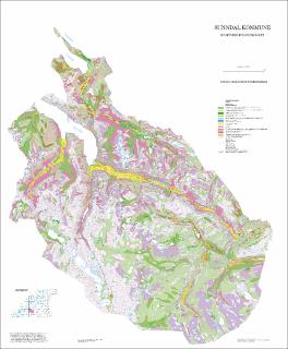
Sunndal kommune. Kvartærgeologisk kart M 1:80 000. Tema løsmasser. Plottekart
| dc.contributor.author | Follestad, Bjørn | |
| dc.coverage.spatial | 14194 Aursjøen | |
| dc.coverage.spatial | 14193 Storskrymten | |
| dc.coverage.spatial | 14202 Romfo | |
| dc.coverage.spatial | 14201 Snota | |
| dc.coverage.spatial | 14203 Sunndalsøra | |
| dc.coverage.spatial | 14204 Stangvik | |
| dc.date.accessioned | 2020-07-09T13:58:19Z | |
| dc.date.available | 2020-07-09T13:58:19Z | |
| dc.date.issued | 1995 | |
| dc.identifier.uri | https://hdl.handle.net/11250/2662183 | |
| dc.description.abstract | Plotteversjon 2006 | |
| dc.language.iso | nor | |
| dc.rights | Navngivelse 4.0 Internasjonal | |
| dc.rights.uri | http://creativecommons.org/licenses/by/4.0/deed.no | |
| dc.subject | KVARTÆRGEOLOGI | |
| dc.title | Sunndal kommune. Kvartærgeologisk kart M 1:80 000. Tema løsmasser. Plottekart | |
| dc.type | Map | |
| dc.description.localcode | 60075 |
Files in this item
This item appears in the following Collection(s)
-
Kart [1000]
NGUs trykte kart

Except where otherwise noted, this item's license is described as Navngivelse 4.0 Internasjonal