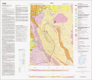
Orsa. Berggrunnskart Orsa M 1:250 000; trykt i farger
| dc.contributor.author | Heim, Michael | |
| dc.contributor.author | Wolff, Fredrik Chr. | |
| dc.contributor.author | Nystuen, Johan Petter | |
| dc.coverage.spatial | TRYSIL | |
| dc.coverage.spatial | ENGERDAL | |
| dc.coverage.spatial | ELVERUM | |
| dc.coverage.spatial | ÅMOT | |
| dc.coverage.spatial | VÅLER HEDMARK | |
| dc.date.accessioned | 2020-07-09T13:58:45Z | |
| dc.date.available | 2020-07-09T13:58:45Z | |
| dc.date.issued | 1995 | |
| dc.identifier.uri | https://hdl.handle.net/11250/2662190 | |
| dc.description.abstract | Beskrivelsen finnes på kartet. | |
| dc.language.iso | nor | |
| dc.rights | Navngivelse 4.0 Internasjonal | |
| dc.rights.uri | http://creativecommons.org/licenses/by/4.0/deed.no | |
| dc.subject | BERGGRUNNSGEOLOGI | |
| dc.title | Orsa. Berggrunnskart Orsa M 1:250 000; trykt i farger | |
| dc.type | Map | |
| dc.description.localcode | 36756 | |
| dc.source.pagenumber | 1 kart |
Files in this item
This item appears in the following Collection(s)
-
Kart [1000]
NGUs trykte kart

Except where otherwise noted, this item's license is described as Navngivelse 4.0 Internasjonal