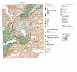
Gjerdal. Berggrunnskart; Gjerdal; 21302; 1:50 000; Foreløpig utgave plottekart
| dc.contributor.author | Kollung, S. | |
| dc.coverage.spatial | 21302 Gjerdal | |
| dc.coverage.spatial | SØRFOLD | |
| dc.coverage.spatial | HAMARØY | |
| dc.date.accessioned | 2020-07-09T14:04:38Z | |
| dc.date.available | 2020-07-09T14:04:38Z | |
| dc.date.issued | 1991 | |
| dc.identifier.uri | https://hdl.handle.net/11250/2662432 | |
| dc.language.iso | nor | |
| dc.rights | Navngivelse 4.0 Internasjonal | |
| dc.rights.uri | http://creativecommons.org/licenses/by/4.0/deed.no | |
| dc.subject | BERGGRUNNSGEOLOGI | |
| dc.title | Gjerdal. Berggrunnskart; Gjerdal; 21302; 1:50 000; Foreløpig utgave plottekart | |
| dc.type | Map | |
| dc.description.localcode | 36506 |
Files in this item
This item appears in the following Collection(s)
-
Kart [1000]
NGUs trykte kart

Except where otherwise noted, this item's license is described as Navngivelse 4.0 Internasjonal