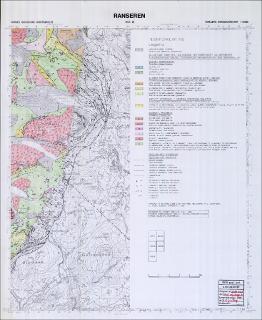
Ranseren. Berggrunnskart; Ranseren; 20253; 1:50 000; sort/hvitt;
| dc.contributor.author | Greiling, R.O. | |
| dc.coverage.spatial | TRØNDELAG | |
| dc.coverage.spatial | NORDLAND | |
| dc.coverage.spatial | RØYRVIK | |
| dc.coverage.spatial | HATTFJELLDAL | |
| dc.coverage.spatial | 20253 Ranseren | |
| dc.date.accessioned | 2020-07-09T14:09:33Z | |
| dc.date.available | 2020-07-09T14:09:33Z | |
| dc.date.issued | 1988 | |
| dc.identifier.uri | https://hdl.handle.net/11250/2662725 | |
| dc.language.iso | nor | |
| dc.rights | Navngivelse 4.0 Internasjonal | |
| dc.rights.uri | http://creativecommons.org/licenses/by/4.0/deed.no | |
| dc.subject | BERGGRUNNSGEOLOGI | |
| dc.title | Ranseren. Berggrunnskart; Ranseren; 20253; 1:50 000; sort/hvitt; | |
| dc.type | Map | |
| dc.description.localcode | 36619 |
Files in this item
This item appears in the following Collection(s)
-
Kart [1000]
NGUs trykte kart

Except where otherwise noted, this item's license is described as Navngivelse 4.0 Internasjonal